Citian at AASHTO GIS-T 2026: Geospatial Data, Safety Infrastructure, and the Future of Transportation Analytics

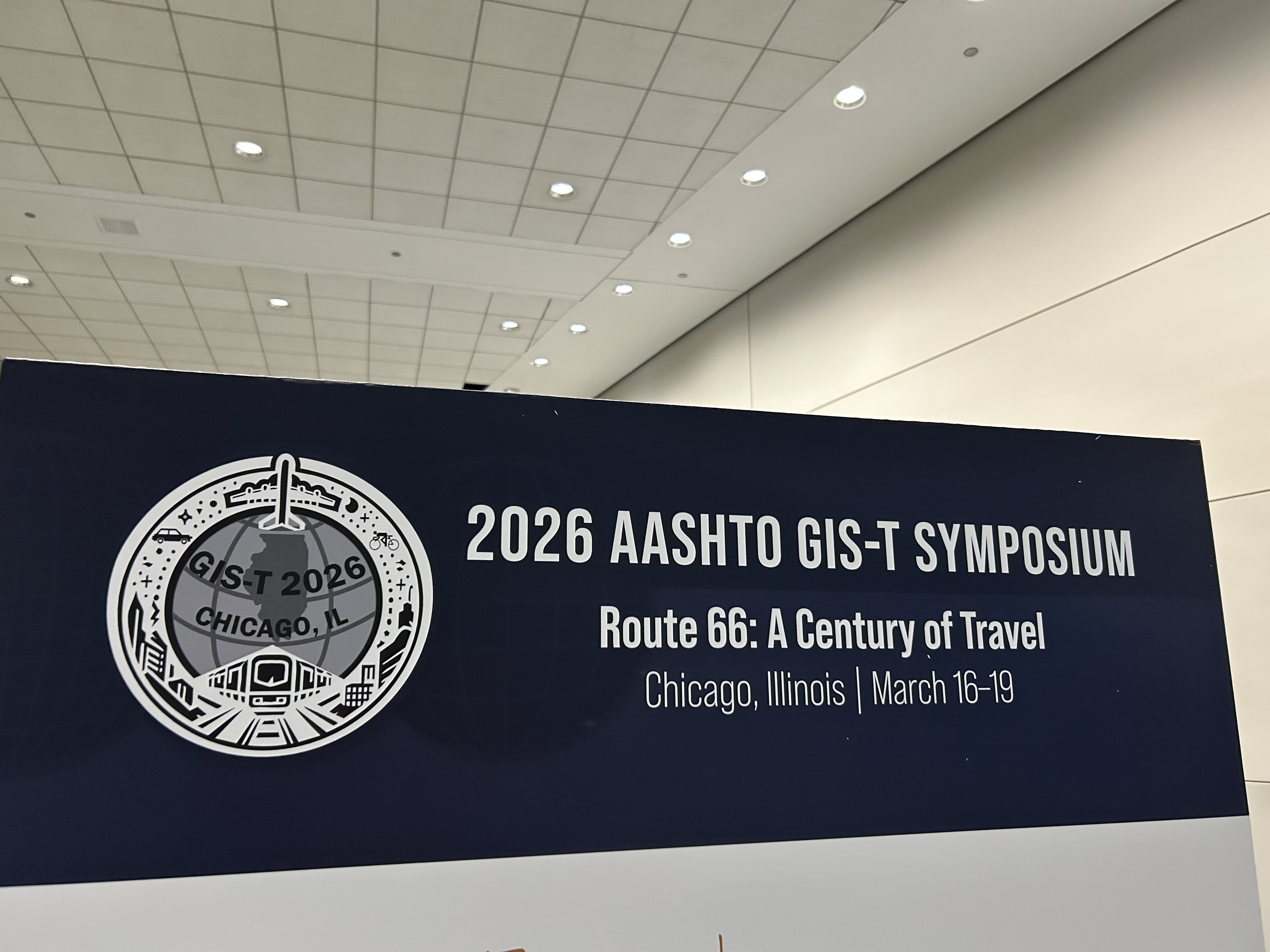
Last week, Citian's GIS Manager Gonzalo Espinoza was in Chicago for the 2026 AASHTO GIS for Transportation (GIS-T) Symposium, held March 16-19 at the Hyatt Regency McCormick Place. GIS-T is the premier annual gathering for geospatial professionals in transportation, bringing together state DOT leaders, federal partners, MPOs, and technology providers to share how they are using spatial data to solve complex transportation challenges.
For Citian, this was an opportunity to engage directly with the geospatial community, pressure-test our current approaches, and identify where the field is heading. Gonzalo came back with concrete takeaways that will inform our work.
Intersection Modeling: Confirming the Right Approach
Intersection modeling was a recurring topic, and the sessions reinforced something we have already been working through internally. Two major node types came up consistently: conflict nodes and what practitioners call extraneous nodes, covering things like merge-diverge points, overpasses, and cul-de-sacs. The consensus across agencies is to retain these non-conflict nodes in the database rather than deleting them, using a flag to exclude them from calculations where appropriate.
This aligns directly with our own approach. Retaining nodes with clear flags, rather than deleting and recreating them, gives agencies a more reliable and maintainable foundation for safety analysis.
The sessions also surfaced the reality that there is no universal standard for how intersections are defined and combined. What one state DOT treats as a single parent-child intersection, another may treat as two separate intersections. This reinforced that our platform needs to support tailored configuration for each client, rather than imposing a one-size-fits-all model.
Linear Referencing: A Universal Challenge
Linear Referencing Systems (LRS) came up in nearly every conversation. Agencies across the country are actively implementing, combining, or maintaining LRS as a core part of their transportation data infrastructure. Common challenges include reconciling legacy reference systems with updated ones and managing the complexities that come with network changes over time.
This is an area where Citian already has experience, including support for Minnesota's LRS integration. The conversations at GIS-T confirmed that demand for this capability is broad and growing, and that agencies value partners who understand the nuances of LRS modeling rather than treating it as a simple data migration task.
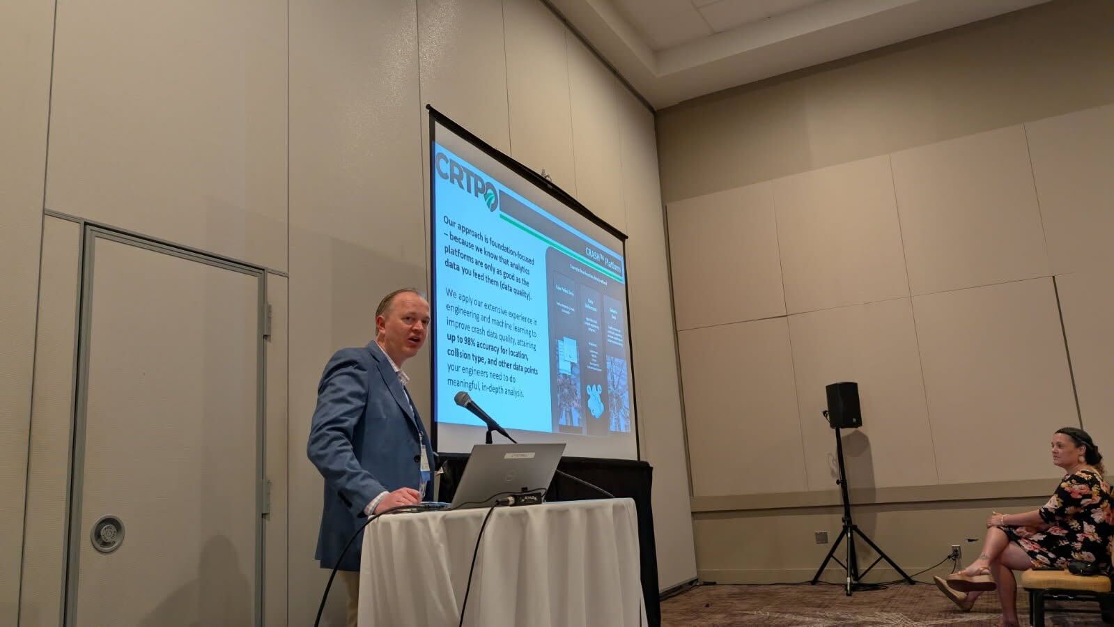
Safety Analytics: A View from the Field
Several sessions at GIS-T explored how agencies are using geospatial tools to support traffic safety, from geo-locating crash records to building predictive models that rank roadway segments by risk. The work being done across the field reflects real investment and ambition.
One theme that emerged consistently: model and data refresh frequency matters. Predictive safety models that update infrequently create real limitations for agencies trying to respond to changing conditions, demonstrate progress, or make time-sensitive investment decisions. For Citian, keeping safety data current is foundational to what we build. Agencies need an accurate picture of risk today, not one that was calibrated years ago.
The sessions also highlighted how much the spatial component matters. Safety analytics without geographic context lose much of their value when it comes to identifying where to act, communicating priorities to stakeholders, and integrating with broader planning workflows. Citian's approach is built around spatially integrated data from the ground up.
Emerging Areas Generating Interest
Two topics generated broad interest across multiple sessions and conversations.
Right-of-way mapping came up repeatedly as an area of demand, though one that agencies acknowledge as technically challenging. There is clear appetite across the field for better tools and workflows in this space.
There was also significant interest in near real-time services for road closures related to construction, weather, and flooding events. Current mapping tools in this space are relatively basic, and the conversation around integrating event data with routing and alternative-route logic points to real unmet need. These are areas worth watching as the field continues to evolve.
Looking Ahead
GIS-T 2026 reinforced that the agencies doing the most effective safety work are the ones investing in their geospatial data infrastructure, not as a one-time project, but as an ongoing capability. The conversations Gonzalo had in Chicago will directly inform how we continue to develop our platform and support our clients.
We look forward to bringing these insights back to the work and continuing to help agencies turn better data into safer roads.
Related posts


Transform Your Community with
Advanced Technology


